Mission autonomy for air and ground robots
Kinburn develops navigation and mission software for drones and ground robots. A robot finds its position from what its camera sees, follows the mission an operator sets, and is designed to keep working when GPS is jammed.
What the software does
Navigation without GPS
The drone compares each camera frame with an offline map and corrects its position from the match. Between frames, its inertial sensors carry the estimate. No satellite signal is needed.
Working in simulation
One screen for the whole mission
The operator plans the route and the task for every robot and follows them on one map. Commands that cannot be undone, such as a return or a recall, need the operator to hold and confirm.
Interface in development
Air and ground in one mission
A ground robot carries a drone closer to the task and recharges it on a dock; the drone flies the rest of the way and comes back. This is the direction we are building towards.
Development direction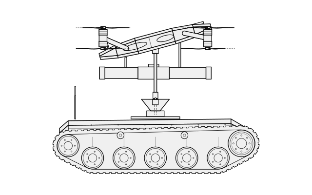
A 30 km flight in simulation
One recorded flight from start to finish: a planned route over real aerial imagery, thirteen changes of wind, and the position taken from camera and map.
- distance flown
- 30.07km
- flight time
- 28:29
- mean ground speed
- 68.5km/h
- camera frames passed the geometry check
- 609/616
- from the target at arrival, inside a 25 m zone
- 14.3m
Recorded simulation. Environment isolation unverified; no physical flight shown.
How the navigation works
These steps run for every camera frame. The recording below follows a whole flight, including the frames that failed the check.
- 01The camera captures the ground.
- 02Offline map tiles around the predicted position are searched.
- 03A neural network pairs points across both images.
- 04A geometry check keeps the consistent pairs.
- 05The position is corrected. Between frames, the inertial sensors carry it.
An ecosystem of air and ground platforms
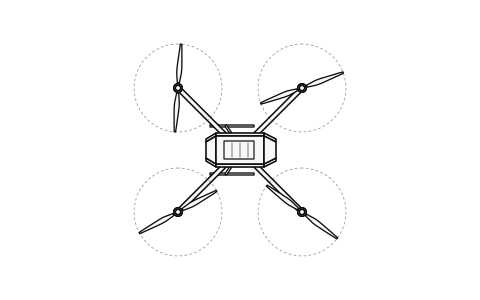
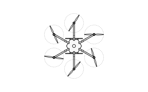
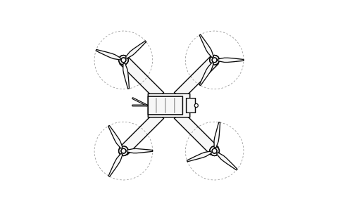
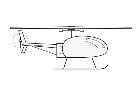
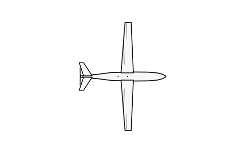
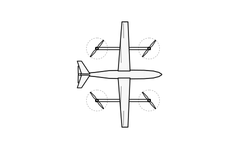
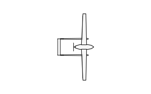
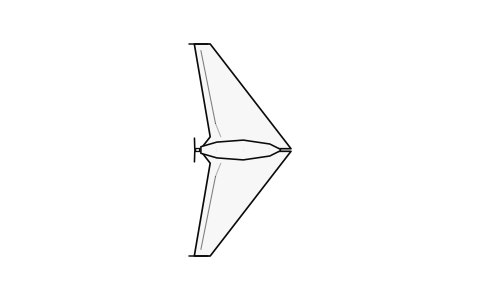
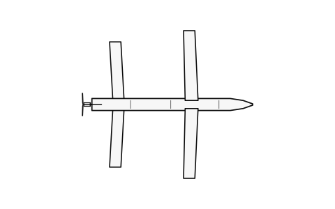
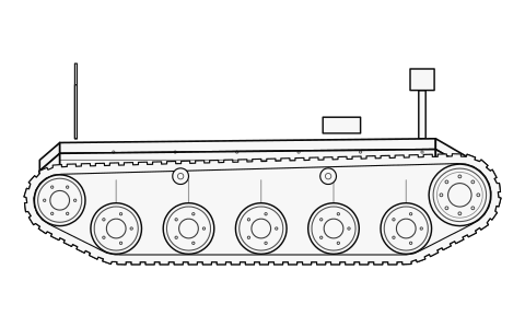
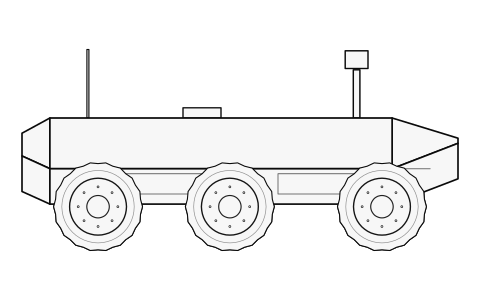
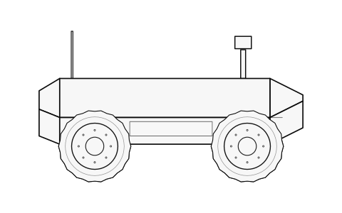
Units in the field fly and drive robots of different types and from different makers. We are building one system in which these robots share a mission, a map and their positions, so that they can work as one team. It is designed for the platforms below.
Shared mission · shared map · shared position
Building a platform of your own?
Drone and ground-robot manufacturers and integrators: tell us what you build, and we will look at the integration together.
Compatibility with a specific model is confirmed by testing and named once confirmed.
How we work
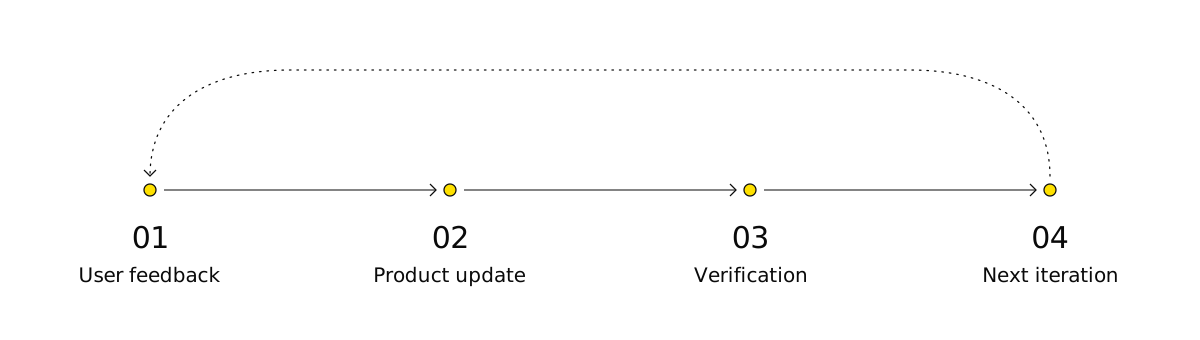
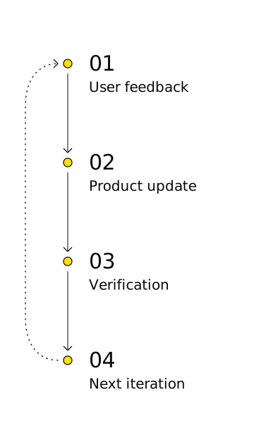
Requirements in the field change faster than a normal development cycle. We take feedback from the people who use these systems, ship an update, verify it and repeat.
Where we are
- Now
- The navigation prototype works in simulation.
- December 2026
- Hardware testing with a Ukrainian drone manufacturer, under a confirmed collaboration.
- Next
- Integration with existing platforms, and joint air and ground missions.
Our principles
What we build, and what we do not.
- 01An operator defines every mission and confirms every command that cannot be undone.
- 02We do not develop automatic target selection or engagement.
- 03We publish simulation results as simulation, and hardware results only after the tests.
Request a briefing
For drone and ground-robot manufacturers, integrators and units. Tell us about your platform or your mission.